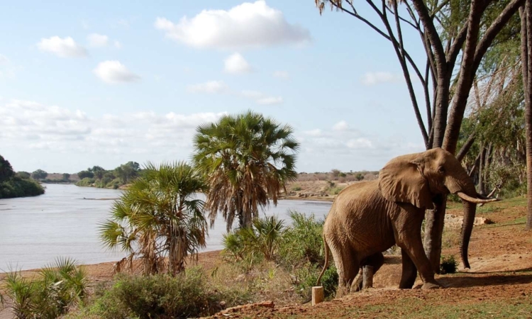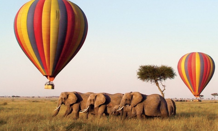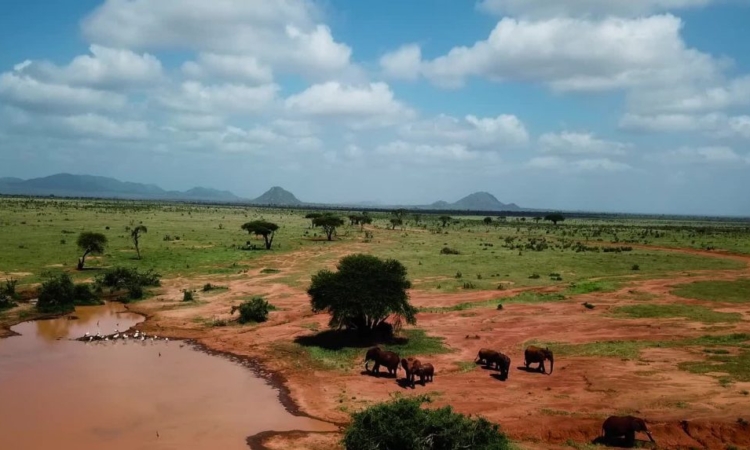
The Size of Tsavo West National Park – Tsavo West National Park is wetter than Tsavo East National Park and is not as flat as its neighbor. It has dense vegetation, mainly because of the many rivers and streams in the area. The Galana and Athi rivers are an important part of the Tsavo ecosystem and are good places to watch wildlife.
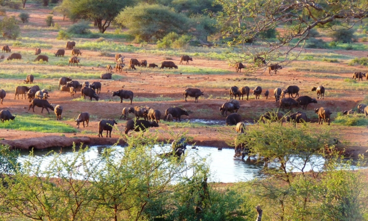
The park covers about 9,000 square kilometers out of the 21,000 square kilometers that make up the entire Tsavo Conservation Area. It has a variety of landscapes, including riverine vegetation, open grasslands, dense acacia woodlands, rocky outcrops, and semi-arid shrubland. These habitats support both northern and southern wildlife species found in Kenya.
Geography of Tsavo West National Park
The park’s vegetation is mainly semi-arid savannah grassland. The semi-desert terrain gives Tsavo West a unique character. Several rivers flow through the park, with the Tsavo River being the main one and the source of the park’s name. The Galana River, one of Kenya’s best-known rivers, also crosses the park.
The Galana River is formed when the Tsavo and Athi rivers join, creating a stronger water source for the park. Most of Tsavo West is flat, with a few hills and mountains scattered around its edges. Acacia trees and small forests grow near marshes and mountain areas, mixed with the savannah grassland.
In the dry season, visitors can enjoy wide views across the plains. The dry pans along the Galana River attract many bird species during this time. Some of the park’s main geographical features include the Yatta Plateau, which is the longest lava flow in the world, Lugard Falls, Poachers Hills, and other notable rock formations.