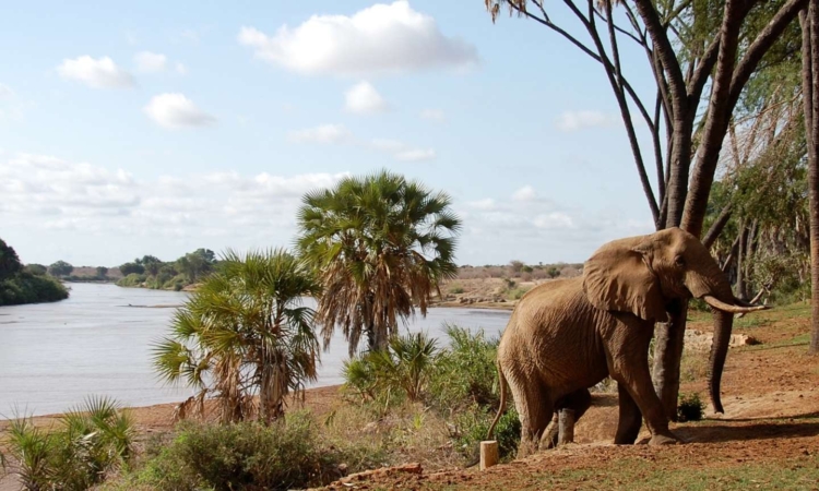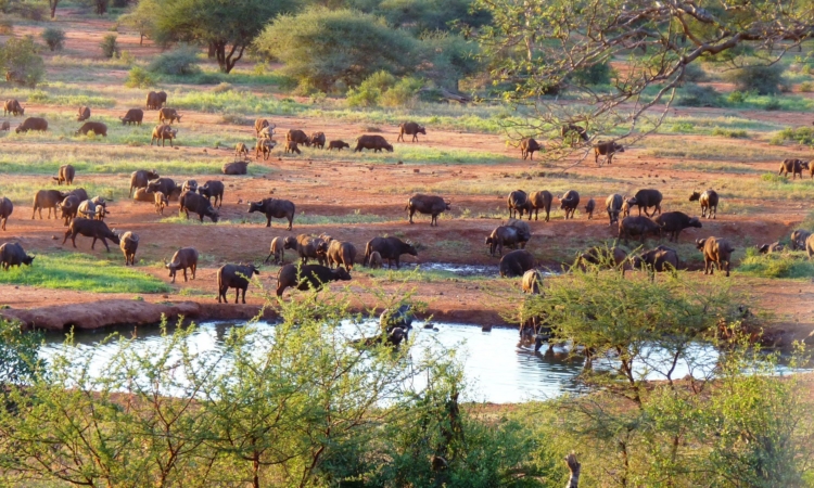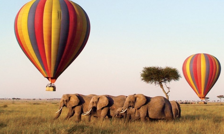
The Big Map of Tsavo East National Park – Tsavo East National Park, sometimes called the “Theatre of the Wild,” is the oldest and largest national park in Kenya. It covers about 13,474 square kilometers.
Together with Tsavo West National Park, it forms the Tsavo Conservation Area, which covers over 22,000 square kilometers. The park is located near the town of Voi in Taita-Taveta County, in the former Coast Province.
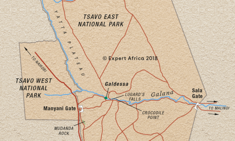
Tsavo East is also home to the Yatta Plateau, the longest lava plateau in the world, stretching for over 300 kilometers.
Location of Tsavo National Park
With its 13,747 square kilometers, Tsavo East makes up the larger portion of the Tsavo parks, while Tsavo West covers the remaining area. The Mombasa Highway provides an easy route from Nairobi to the park, either by car or train.
The distance from Nairobi to the park varies depending on the entry gate, but the main Nairobi–Mombasa road is about 250 kilometers to the park area.
From Mombasa, on Kenya’s coast, it is only a few hours’ drive. Another route to the park passes through Amboseli National Park and leads to the Chyulu Gate.
Entry Gates
For visitors entering from the Tsavo East side, the main gates are Manyani Gate, Voi Gate, Buchuma Gate, and Sala Gate.
For those entering from the Tsavo West side, gates include Mtito Andei Gate, Chyulu Gate, and Man Eaters Gate, among others.
These gates connect the park to major roads, making Tsavo East accessible for both short and extended safaris.
Whether traveling from Nairobi, Mombasa, or other parts of Kenya, the routes to the park offer scenic views and the chance to spot wildlife even before entering.