Geography of Tsavo East & Tsavo West National Parks – Tsavo East National Park and Tsavo West National Park are located in southeastern Kenya, east of Mount Kilimanjaro and west of the Indian Ocean.
Tsavo East National Park
Tsavo East lies east of Nairobi in the coastal region of Kenya and covers an area of 13,747 square kilometers, making it the largest national park in the country. Its landscape is made up of wide open grasslands, arid savannahs, seasonal river valleys, acacia woodlands, scrublands, and areas shaped by volcanic activity.
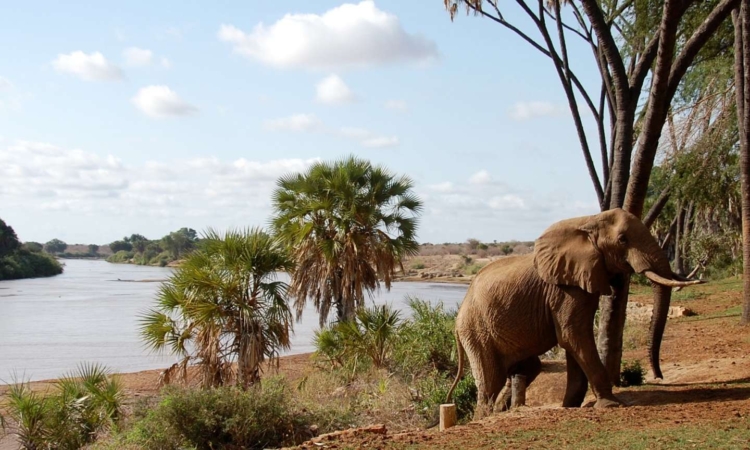
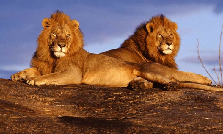
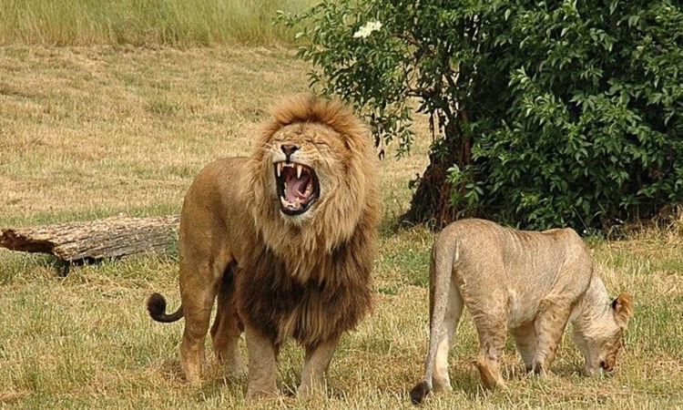
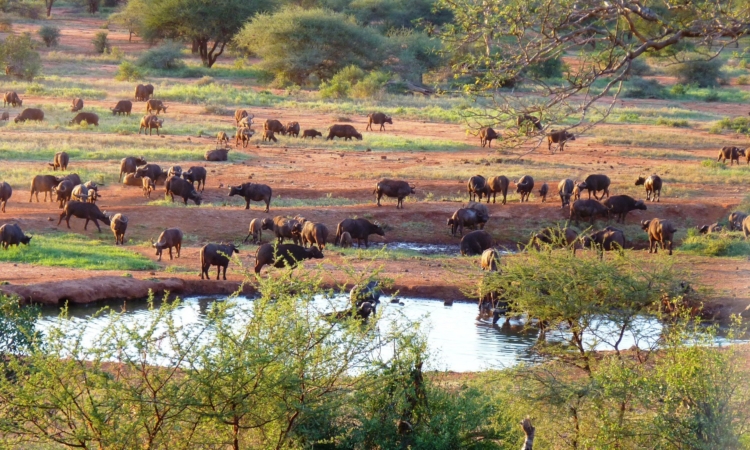
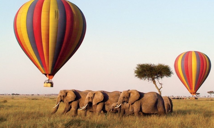
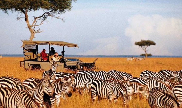
One of its most famous features is the Yatta Plateau, the world’s longest lava flow, stretching about 300 kilometers. The park is home to African elephants, buffaloes, hippos, lions, wildebeests, waterbucks, rhinos, zebras, and more than 500 bird species.
The Galana River is another key feature, formed by the joining of the Tsavo and Athi rivers. Other notable landmarks include Aruba Dam, Mudanda Rock, Lugard Falls, and the Galana River itself.
Tsavo West National Park
Tsavo West is located next to Tsavo East in southeastern Kenya, along the Kenya–Tanzania border. It covers an area of 9,065 square kilometers. The landscape here is more varied than in Tsavo East, with a mix of hills, volcanic formations, and springs.
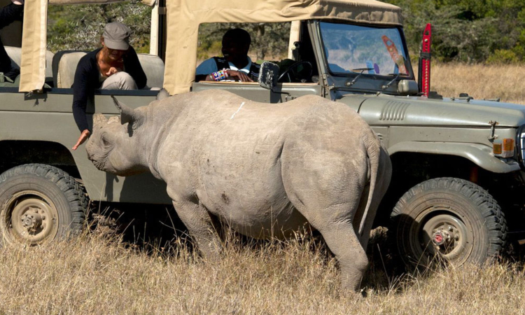
It is home to the vast Shetani Lava Flow and the well-known Mzima Springs, a source of clear, fresh water that is a popular place to visit. Wildlife in Tsavo West includes elephants, buffaloes, hippos, lions, wildebeests, waterbucks, endangered black rhinos, zebras, and more than 600 bird species.
Notable attractions include Mzima Springs, Shetani Lava Flow, Ngulia Rhino Sanctuary, Lake Jipe, Chaimu Crater, and the Chyulu Hills.
The park experiences a generally dry and hot climate with two main weather patterns: the dry season and the wet season.